PAGE CONTENTS
Flood Risk
API Name: flood-risk
Introduction
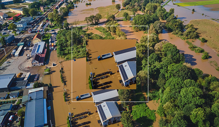
Access Location-Based Flood Risk Intelligence with the AfriGIS Flood Risk API.
The AfriGIS Flood Risk API empowers users to assess the potential risk of flooding at a specific location, using geographic coordinates. By integrating geospatial data and advanced hazard modelling, the API supports proactive decision-making to help minimise the risk of injury, loss of life, and damage to property.
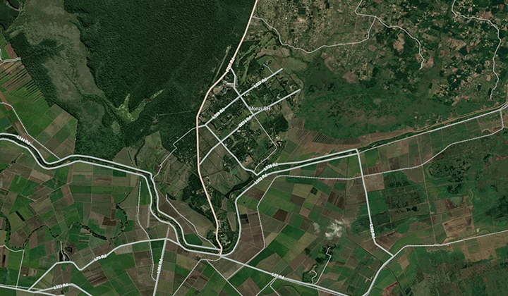
Coordinate-Based Flood Risk Assessment
Users can query the API using geographic coordinates to receive flood risk insights tailored to the exact location.
Authentication
This API makes use of OAuth2 authentication. To integrate, sign up for a free trial account by contacting [email protected]
For detailed integration instructions using OAuth2, please click on the following link: https://developers.afrigis.co.za/oauth2-authentication/
To view technical documentation describing the details of the Flood Risk API, click on the button below.