PAGE CONTENTS
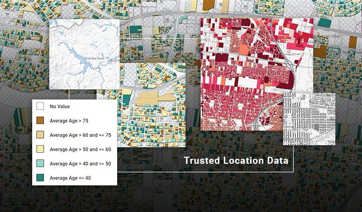
Trusted location data. Built for real-world use.
The AfriGIS Datastore is a centralised marketplace for trusted, business-ready geospatial datasets, designed to support analytics, applications and location-based decision-making across South Africa and Africa.
It gives you a view of authoritative spatial data layers, delivered through secure APIs and flexible downloads, so you can spend less time sourcing data and more time creating value.
Dataset layers available
The Datastore provides a growing catalogue of verified spatial and location intelligence layers, including:
Administrative boundaries
Provinces, municipalities, wards and regional boundaries
Addressing & points of interest (POIs)
Accurate geocoded addresses, commercial and public locations
Demographic & socio-economic data
Population, households, income and lifestyle indicators
Infrastructure & services
Road networks, transport, public facilities and utilities
Risk & environmental layers
Flood risk, proximity analysis and spatial risk indicators
Specialist and enriched datasets
Sector-focused datasets curated for advanced use cases
All datasets are quality-checked, consistently structured and maintained, making them easy to integrate into existing systems and workflows.

Built for technical and non-technical users
The AfriGIS Datastore supports both hands-on data teams and business-focused users, including:
- Data scientists, GIS specialists and developers integrating data via APIs
- Operations and project teams managing complex spatial layers
- Sales and marketing teams sourcing reliable data for client solutions
- Consultants who need trusted inputs to support recommendations
The goal is simple: make trusted location data easy to find, understand and use, regardless of technical background.
Why teams trust the AfriGIS Datastore
Authoritative, reliable data
- Sourced and maintained by geospatial experts
- Clear data provenance and transparent sourcing
- Built to enterprise and government-grade standards
- SABS & ISO Compliant Data
API-first access
- Secure, scalable APIs for seamless system integration
- Ideal for analytics platforms, dashboards and digital products
- Reduces manual data preparation and duplication
Designed for scale and speed
- Provides a view to production-ready datasets
- Supports proof-of-concept through to enterprise deployment
- Backed by local African context and expertise
Frequently asked questions
The AfriGIS Datastore is a digital marketplace that provides a view of our trusted, high-quality geospatial and location intelligence datasets, purpose-built for analytics, applications and business decision-making.
Datasets are available on request, simple get in touch with one of our client consultants. Enriched datasets are available via secure APIs, allowing easy integration into applications, dashboards or analysis tools.
Yes. All data is sourced, quality-checked and maintained by geospatial specialists, with a strong focus on accuracy, consistency and clear data lineage. Our data also adheres to ISO and SABS standards to ensure interoperability.
No. The Datastore is designed for both technical and non-technical users. While GIS specialists can integrate data programmatically, business users can easily explore and source datasets with guidance from the AfriGIS team.
Absolutely. AfriGIS consultants are available to help you identify the most suitable data layers for your industry, use case and technical environment.
Common use cases
- Risk and insurance modelling
- Market analysis and site selection
- Logistics and operational optimisation
- Location-aware digital products and platforms
- Data-led client consulting and reporting
Get started with trusted geospatial data
Explore available datasets, integrate via APIs, or speak to a specialist about your data requirements.