AfriGIS DevelopersAfriGIS Developers

Where is where it starts

Let's talk
  • Home
  • Solutions
    • Asset Tracking
    • Customer Insights
    • Custom Built GIS Solutions
    • Data & Analytics Strategy
    • Optimise Dispatch & Delivery
    • Risk Management
    • Store Footprint Strategy
  • About Us
    • About Us
    • Latest News
    • Upcoming Events
    • Careers
  • Data & APIs
        • API AUTHENTICATION
          • DATA
          • Africa Data
          • Population Search
          • Weather
        • GEOSCIENCE
          • Assets Location & Tracking
          • Business Analysis
          • Postal Code Analysis
          • Property Analysis
          • Travel Time Bands
          • Weather
        • MAPPING
          • Mapping
          • Routing
        • SEARCH
          • Address Search
          • Business Search
          • Population Search
          • Property & Deeds Search
          • Property Diagrams
  • Websites
    • AfriGIS Iris
  • FAQ

Mapping

Mapping

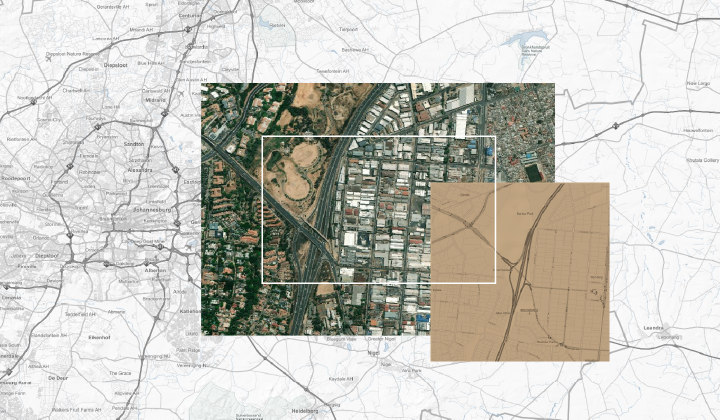
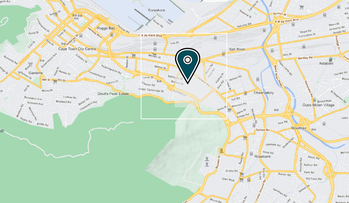
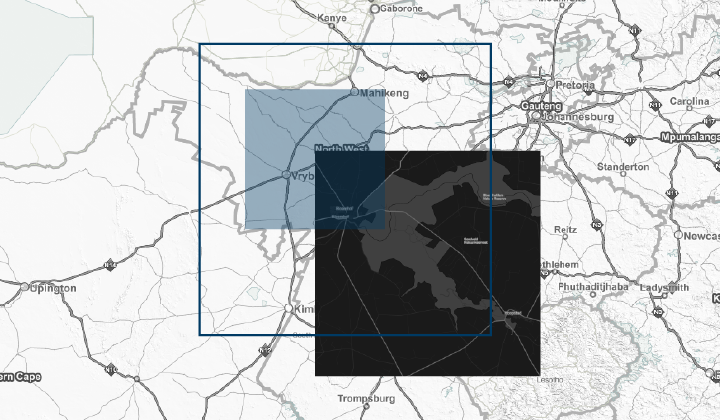
Basemaps, Routing and Navigation

High-quality AfriGIS data can be presented on a map as part of a client solution or website, using different methods. Part of the AfriGIS Mapping solutions includes routing capabilities which can assist with, for example, optimised dispatch and delivery.

Data and Maps in GIS applications

Mapping

Static Maps API

Mapping

AfriGIS Routing

Mapping

Maps in Leaflet

Mapping
ABOUT AFRIGIS
About Us
Latest News
Events
Careers
Contact Us
SOCIAL RESPONSIBILITY
Corporate Social Responsibility
Skills Development
B-BBEE Certificate
WEBSITES
AfriGIS Iris
Data Catalogue


SITEMAP
PRETORIA
+27 87 310 6400
[email protected]
CAPE TOWN
+27 87 310 6400
[email protected]

Let's talk
Copyright © 2025  AfriGIS (Pty) Ltd. All rights reserved.
Terms and conditions | Licensing and Legal | Privacy Policy