PAGE CONTENTS
Geology
API Name: geology
Introduction
Access Geological Insights with the AfriGIS Geology API
The AfriGIS Geology API enables users to retrieve detailed geological data for a specific location, including both lithostratigraphic and chronostratigraphic information. This data supports environmental analysis, land-use planning, and geological research by providing structured insights into the Earth’s subsurface layers.
Overview
The API offers multiple endpoints to access specific geological datasets, allowing users to tailor queries based on their needs.
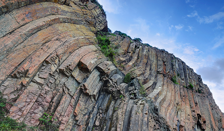
What Is Lithostratigraphy?
Lithostratigraphy refers to the classification of rock layers (strata) based on their physical and mineralogical characteristics. It helps geologists understand the composition, distribution, and structure of sedimentary formations, which is essential for resource exploration and environmental assessments.
What Is Chronostratigraphy?
Chronostratigraphy is the branch of geology concerned with the age and time-based relationships of rock layers. It focuses on dating geological formations and organising them into a chronological framework, which is vital for reconstructing Earth’s history and understanding geological events over time.
Coordinate-Based Geological Data
By submitting geographic coordinates, users can obtain a precise summary of the lithostratigraphic and chronostratigraphic classifications for the exact location.
Authentication
This API makes use of OAuth2 authentication. To integrate, sign up for a free trial account by contacting [email protected]
For detailed integration instructions using OAuth2, please click on the following link: https://developers.afrigis.co.za/oauth2-authentication/
To view technical documentation describing the details of the Geology API, click on the button below.