PAGE CONTENTS
Land Cover
API Name: land-cover
Introduction
Analyse Land Use Patterns with the AfriGIS Land Cover API
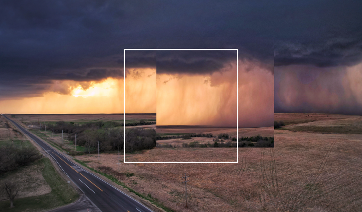
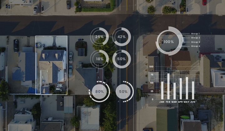
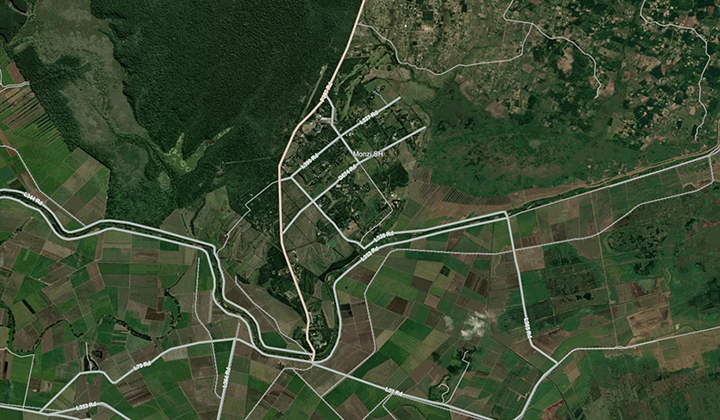
The AfriGIS Land Cover API provides detailed land cover classification data for any location in South Africa, accessible via geographic coordinates. This API supports environmental planning, agricultural analysis, and urban development by offering accurate insights into land use and vegetation cover.
Overview
The API includes multiple endpoints, each designed to return specific datasets based on unique input parameters.
Coordinate-Based Land Cover Data
By submitting geographic coordinates, users can determine the predominant land cover at the exact location. The API also returns the address associated with the coordinates for contextual reference.
Authentication
This API makes use of OAuth2 authentication. To integrate, sign up for a free trial account by contacting [email protected]
For detailed integration instructions using OAuth2, please click on the following link: https://developers.afrigis.co.za/oauth2-authentication/
To view technical documentation describing the details of the Land Cover API, click on the button below.