Static Maps API
Product Information
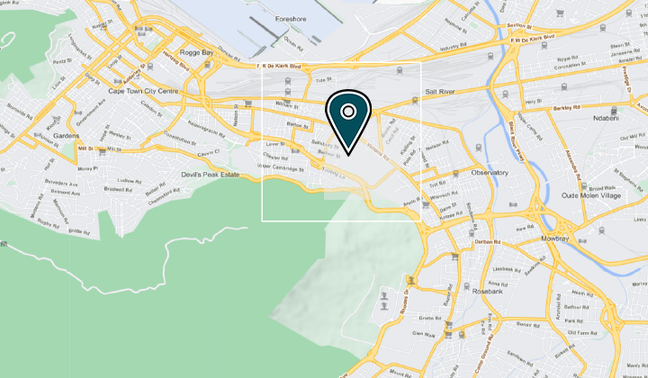
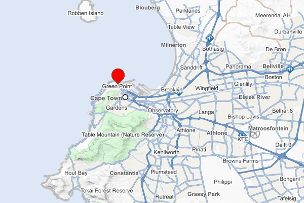
AfriGIS Static Maps allows users to generate map images on the fly. These map images can be added into a wide range of solutions such as websites, social networks, mobile applications, reports, invoices and many more. The map image is constructed by building up a URL containing the information to generate the image.
Key Features
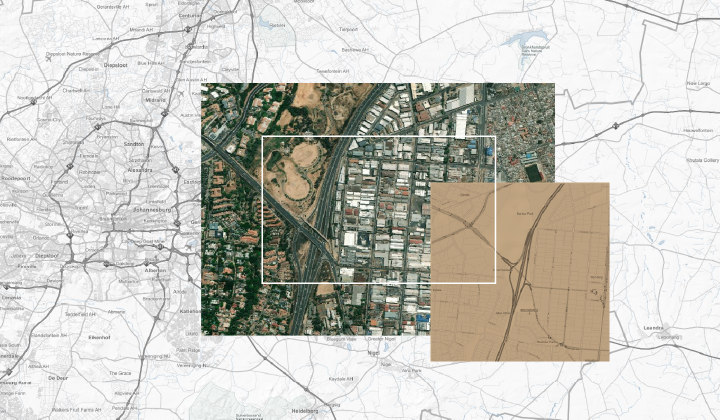
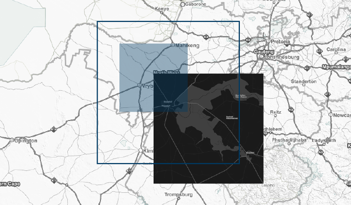
- Choose between a variety of map backgrounds, i.e. Vector Standard, Satellite and Hybrid.
- Specify a custom width and height for your map.
- Add markers to the map.
- Draw polygons and polylines on the map.
- No JavaScript or other framework dependency makes it extremely easy to use.
- Works across all major mobile and desktop platforms.
Example
AfriGIS Static Maps allow users to customise a map which can be used on various platforms such as a web page, blogs, social media feeds (e.g. Facebook), applications, or any other digital property. There is also an easier way of producing map images, instead of embedding a fully functional (zoom and pan) map on a website using the AfriGIS Maps in Leaflet or any other map provider, which has a large overhead. The Static Maps web service is called with a simple HTTP request method that includes various parameters.
URL: https://<afrigis_static_map_service>?bbox=18.251006,-34.064649,18.662994,-33.789991&height=400&width=600&marker=lng:18.41100;lat:-33.90432&authkey=<your_key>

Interested in this API?
Contact AfriGIS Sales for a comprehensive demo and pricing.


