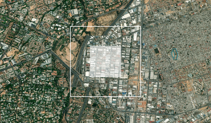
WMTS layer in GIS desktop application
AfriGIS maps can be added as WMTS layers to maps in GIS desktop applications. For this example, the desktop GIS software QGIS will be used. Though the process might differ slightly from other GIS packages, the connection URL will be the same.
How to add a WMTS layer
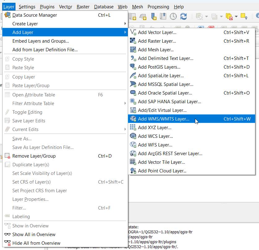
- In the project, select the option to add a new WMS/WMTS layer.
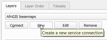
- Select to create a new service connection.
- Enter AfriGIS Basemaps (or similar) as the name.

- Copy the URL, with the unique Auth key provided, into the URL field.
- Sample URL
https://basemaps.afrigis.co.za/mapservice/gwc/service/wmts?Authkey=_YOUR_KEY_HERE_

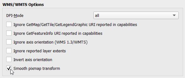
- It is recommended to tick Smooth pixmap transform in the Options.
- Click okay to close this window.
- Select Connect to load the layers for which access was provided.

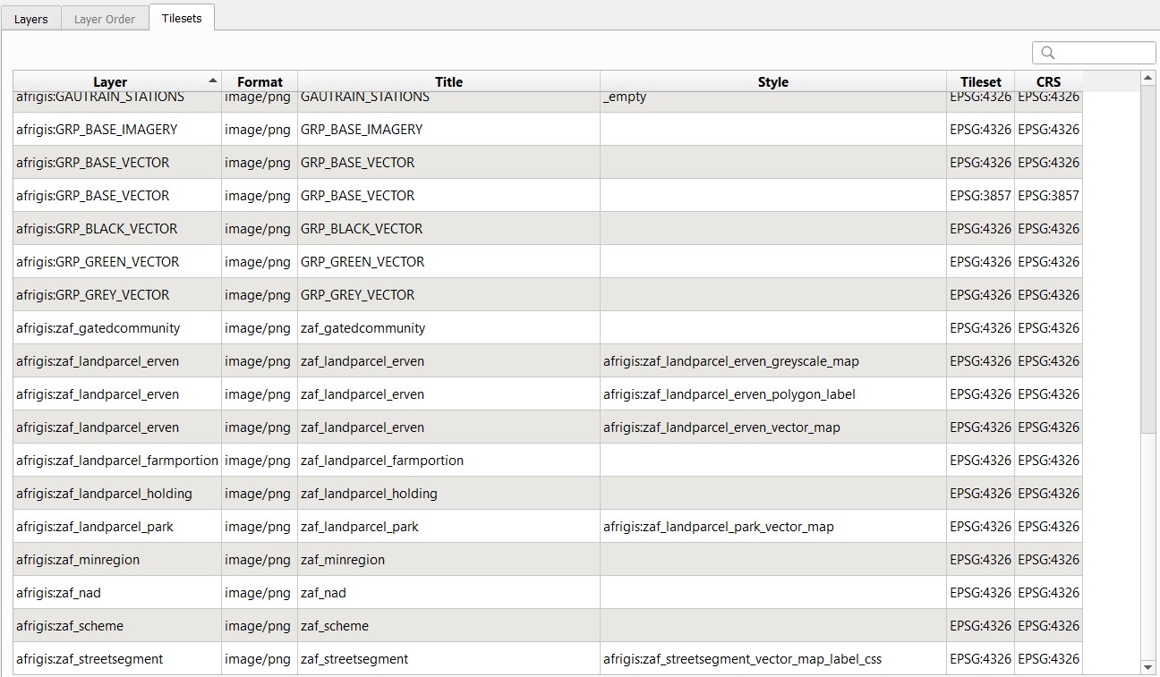
- Select the required AfriGIS Map layer, ensuring that the CRS is EPSG:4326 (unless you know that you need EPSG:3857) and verifying the appropriate image format (PNG for vectors, JPEG for imagery). Most common layers are:
- GRP_BASE_VECTOR (PNG)
- ag_sat_aesthetic (JPEG)
- Click Add.
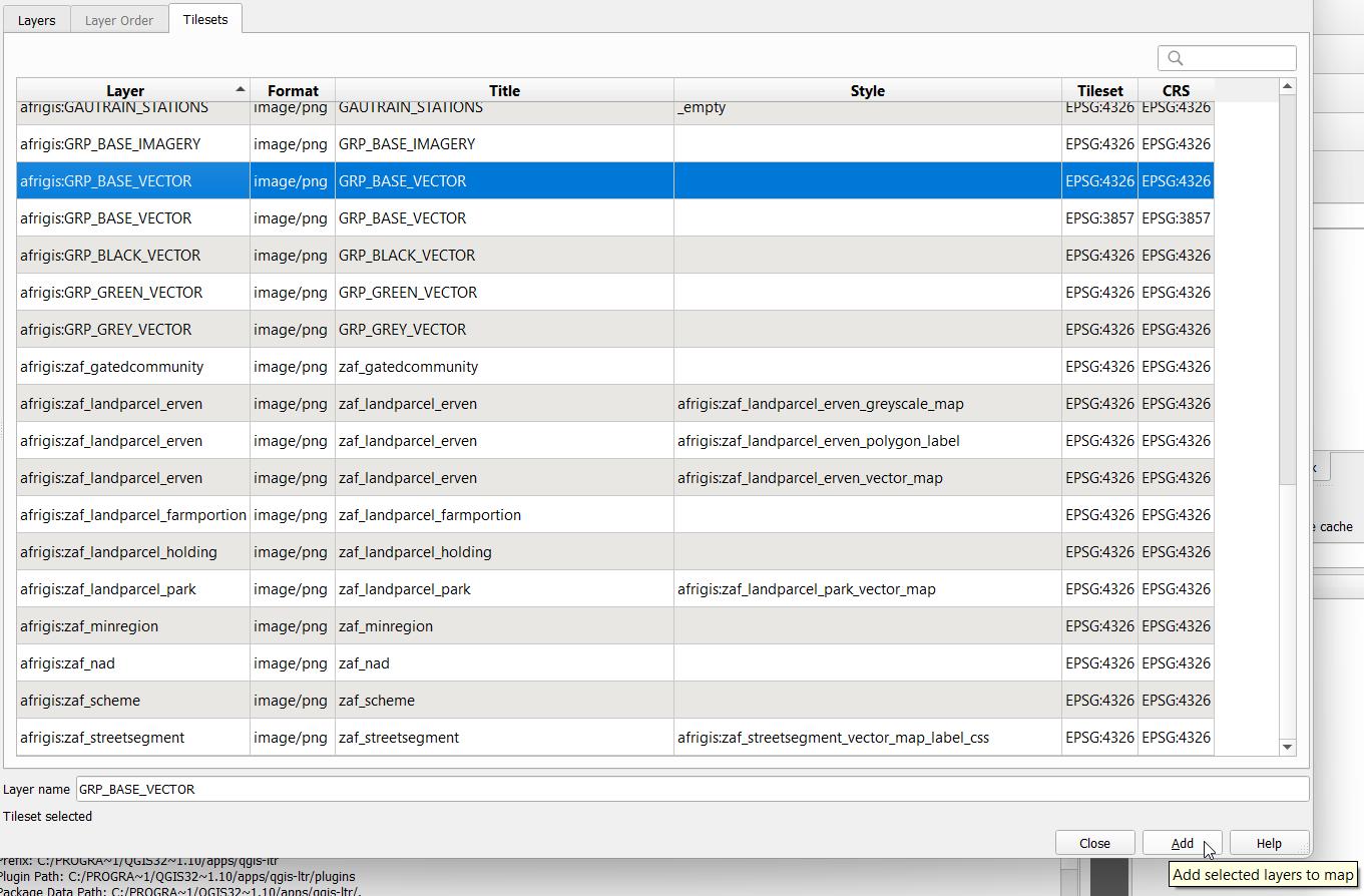
- The layer will now appear in the layers list and on the map canvas.

- Repeat the last step to add additional layers.
Authentication
These products make use of an AuthKey for authentication. To integrate, sign up for a free trial account by contacting [email protected]
For detailed integration instructions using an AuthKey, please click on the following link: https://developers.afrigis.co.za/authkey-authentication/