Introduction
Add layers to maps using Web Map Service
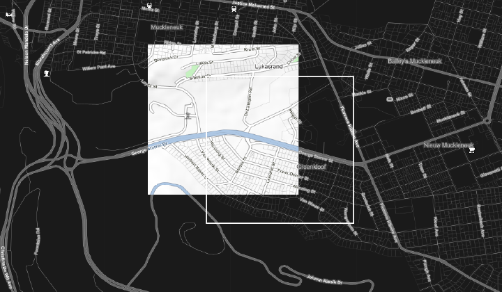
Web Map service (WMS) allow users to create map images that can be accessed from the AfriGIS geospatial database. These can be displayed in a browser application or via a GIS desktop application.
WMS layer in GIS desktop application
Maps for all African countries can be added as WMS layers to your applications.
Authentication
These products make use of an AuthKey for authentication. To integrate, sign up for a free trial account by contacting [email protected]
For detailed integration instructions using an AuthKey, please click on the following link: https://developers.afrigis.co.za/authkey-authentication/


